
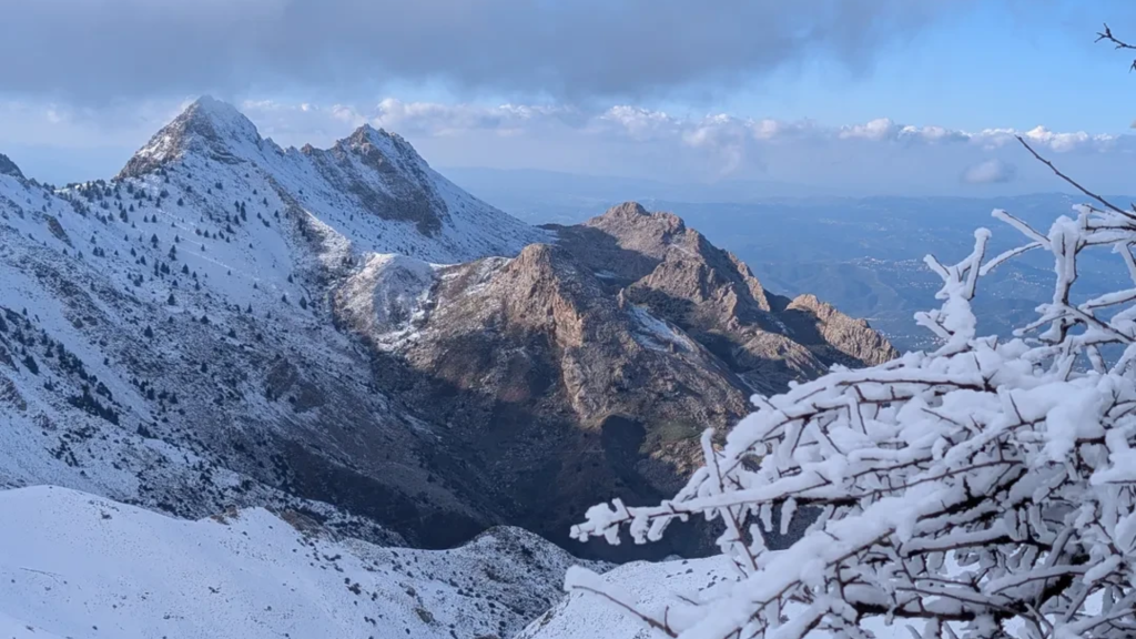

The Djurdjura Mountains offer a rugged escape that often surprises even seasoned travelers with their alpine intensity and deep Amazigh roots.
That is why our team at WildyNess created this guide to help you navigate the logistics, culture, and trails of Kabylie with total confidence.
Scaling Lalla Khedidja: The Roof of Kabylie in Djurdjura
Lalla Khedidja stands at 2,308 meters as the highest peak in the Djurdjura Range and the Tell Atlas. This is a serious mountain day that requires a steady pace and an early start. Most hikers use Tikjda as their base because the elevation gain is more manageable from this high plateau. You should expect the ascent to take between four and five hours depending on your fitness and the presence of lingering snow patches in early spring.
The trail begins with relatively clear paths but quickly transitions into steep limestone scree. We recommend following the ridge approach because it offers the most stable footing and constant views of the surrounding valleys.
Once you reach the summit, the wind can be significantly stronger and colder than at the trailhead. You will want to keep your summit break short to ensure you begin your descent before the afternoon clouds typically roll in. Navigating the rocky sections requires hands-on balance in a few spots, so keeping your hands free is essential.
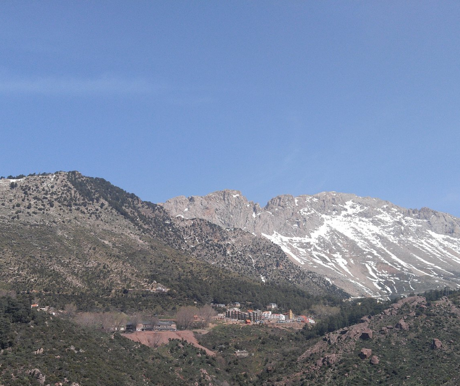
Exploring the Tikjda Plateau and Ancient Cedars in Djurdjura
The Tikjda Plateau serves as the primary gateway for most visitors entering the national park. It sits at an altitude of approximately 1,475 meters and provides immediate access to some of the oldest Atlas cedar forests in North Africa.
These forests offer a unique microclimate where the air is noticeably cooler and filled with the scent of fresh resin. Hiking here is less about vertical gain and more about horizontal exploration through ancient groves and open meadows.
You should aim to start your forest hikes at sunrise to catch the best light filtering through the high branches. The terrain is a mix of packed earth and limestone outcrops that can become slippery after the morning dew.
While the trails near the main resorts are easy to follow, they quickly branch into unofficial shepherd paths as you move further out. We suggest downloading an offline GPS map before you leave the city because mobile signals are unreliable once you drop into the deeper valleys.
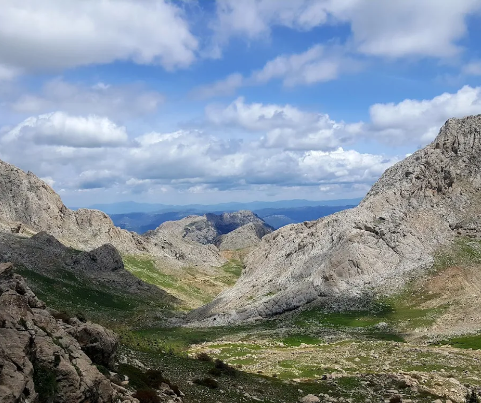
Trekking to Lac Agoulmim: The High Altitude Oasis
Lac Agoulmim is often referred to as the highest lake in Algeria and serves as a vital water source for local wildlife and livestock. Reaching the lake involves a moderate trek that showcases the karst topography of the region. The landscape is defined by sinkholes and dramatic limestone fissures that require careful foot placement.
The lake itself often shrinks during the peak of summer, so the best time to visit for the full waterfront experience is between March and June.
The hike to the lake is a round trip that usually takes a full day. You will traverse open slopes where shade is non-existent, making sun protection and high water volume mandatory. When you arrive at the shoreline, you will likely encounter local shepherds and their flocks. This is an excellent spot for a long lunch break before the return journey.
If you have extra energy, you can climb the small ridges overlooking the lake for a panoramic view of the entire basin.
This experience might be what you're looking for: Lake Agoulmime Hike & Nature Escape
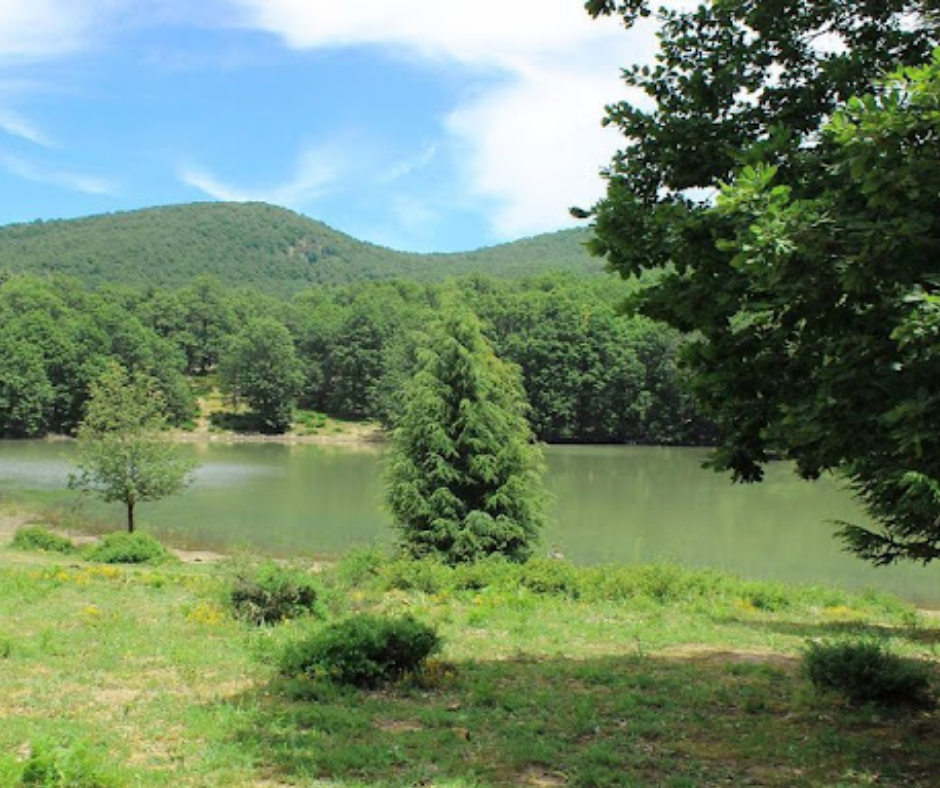
Wildlife Spotting: Finding the Barbary Macaques in Djurdjura
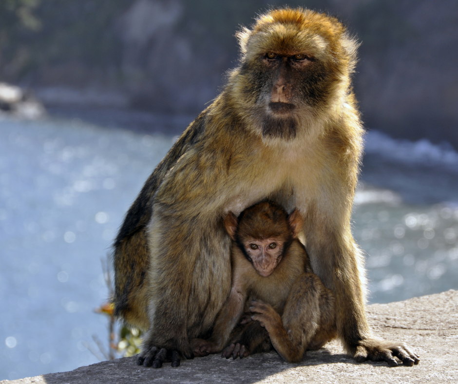
The Djurdjura Mountains are a stronghold for the Barbary macaque, the only macaque species found outside of Asia. These primates are often found near the edges of cedar and oak forests where they forage for seeds, roots, and insects. To increase your chances of a sighting, you should focus your efforts on the quiet areas between Tikjda and the Mimouna spring. They are most active during the early morning and late afternoon hours when the sun is less intense.
Observing these animals requires a disciplined approach to keep both you and the macaques safe. You must maintain a distance of at least fifteen meters and never offer food. Macaques that become accustomed to human snacks can become aggressive and may lose their ability to forage naturally. We recommend using binoculars for a closer look rather than trying to approach them for photos. If a macaque approaches you, stay calm and slowly back away without showing your teeth, as they interpret a smile as a sign of aggression.
Best Seasons for Hiking in the Djurdjura
Timing is the most important factor when planning your trip to northern Algeria. The most comfortable windows for hiking are from March to May and from September to November. During the spring, the mountains are covered in wildflowers and the temperatures are ideal for long days on the trail. This is also when the waterfalls are at their peak flow from the melting snow.
Winter hiking from December to February is possible but requires specialized gear and experience. The Djurdjura receives significant snowfall which can close mountain passes and hide trail markings. If you choose to visit during this time, you should be prepared for sub-zero temperatures at night and the possibility of being snowed in at your mountain lodge.
Conversely, July and August can bring extreme heat that makes strenuous climbing dangerous. If you must visit in summer, limit your hiking to the early morning hours and stay within the shaded forest zones.
Cultural Etiquette in the Kabylie Region
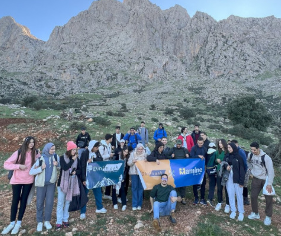
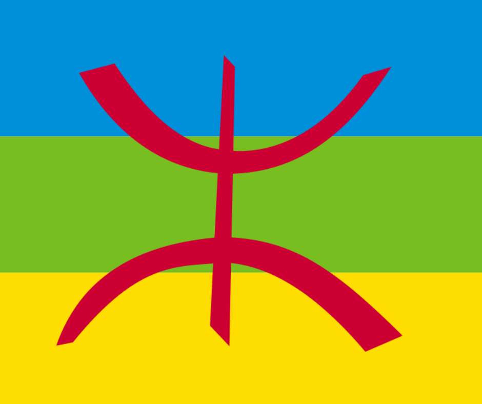
The Djurdjura is located within Kabylie, a region with a distinct Amazigh identity and its own language, Tamazight. The mountain villages are known for their hospitality, but they are also traditional communities where respect for local customs is expected. Dressing modestly is the first step toward a positive interaction. We recommend wearing long trousers and shirts that cover your shoulders even when the weather is warm.
You will likely be invited for coffee or mint tea if you stop in a village or encounter a local family. Accepting these invitations is a significant part of the cultural experience. It is polite to accept at least one cup of tea even if you are in a hurry. When it comes to photography, always ask for permission before taking photos of people, especially women and the elderly. A simple gesture or asking "M'lih?" (Is it okay?) goes a long way in building rapport.
Navigating Limestone Gorges and Karst Hazards
The geological makeup of the Djurdjura is primarily limestone, which creates a spectacular but potentially hazardous landscape. Karst terrain is famous for hidden caves, deep fissures, and underground rivers. While these features are fascinating to look at, they present real risks for hikers who wander off established paths. A "shortcut" through a rocky field can lead to a thin limestone crust that may not support your weight.
We strongly advise against entering any caves without professional equipment and a local guide who knows the specific system. Many of the caves in this range are vertical and require rappelling skills. Even in the narrow gorges, you should be mindful of rockfall, especially after heavy rain or during periods of rapid temperature change. Stick to the high ground during rainstorms as these limestone canyons can experience flash flooding with very little warning.
Logistics: Reaching the Trailhead
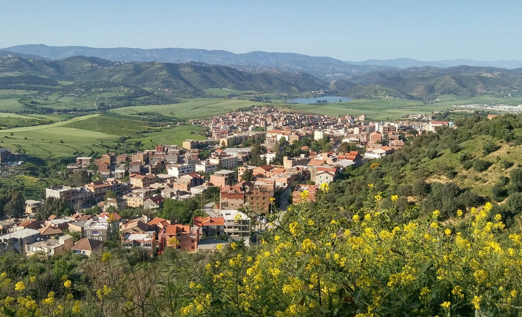
Getting to the Djurdjura requires some planning as public transport directly to the trailheads is limited. The two main gateways are the cities of Tizi Ouzou and Bouira. From Algiers, you can take a "louage" (shared taxi) or a train to either city. Once you arrive in Tizi Ouzou or Bouira, you will need to hire a private taxi or find a local van heading toward Tikjda or Tala Guilef.
If you are staying at the National Center for Sports and Leisure (CNSL) in Tikjda, it is best to arrange your transport in advance or arrive early in the day when local drivers are more active. For those who prefer more flexibility, renting a car in Algiers is a viable option. The roads leading into the mountains are paved but feature many hairpin turns and steep gradients. Ensure your rental vehicle has a decent engine and good brakes for the mountain descent.
Essential Gear and Safety Preparation
Your safety in the Djurdjura depends on your preparation before you leave your accommodation. Sturdy hiking boots with deep lugs are mandatory for the loose limestone found on most trails. We also recommend using trekking poles to reduce the impact on your knees during long descents from Lalla Khedidja. Your layering system should include a moisture-wicking base layer, a warm fleece, and a high-quality windbreaker to handle the shifting mountain weather.
In terms of supplies, you should carry a minimum of three liters of water for a full-day hike. There are several natural springs in the mountains, but their flow is seasonal and the water quality cannot always be guaranteed without filtration. Always carry a basic first-aid kit, a whistle, and a headlamp. Even if you plan to be back by lunch, a simple ankle sprain can delay you into the evening. Finally, let someone at your hotel know your intended route and your expected return time.
Mobile Connectivity and Digital Tools
While the goal of hiking is to disconnect, having a digital safety net is practical in the Djurdjura. We recommend purchasing a local SIM card from Mobilis or Djezzy in Algiers or Tizi Ouzou. Mobilis generally has the best coverage in rural and mountainous areas, though you should still expect "dead zones" in deep canyons and on North-facing slopes.
You should not rely on live Google Maps for navigation. Instead, use apps like Maps.me or AllTrails with the offline maps downloaded. Ensure your phone is fully charged and carry a lightweight power bank. In an emergency, the international emergency number is 112, but knowing the local number for the Protection Civile (14) is also helpful.
Protecting the Mountain Ecosystem
The Djurdjura National Park is a protected area that faces pressure from tourism and climate change. We follow the Leave No Trace principles and ask all our travelers to do the same. This means packing out everything you pack in, including organic waste like orange peels or nut shells which take a long time to decompose in the thin mountain air.
Avoid creating new trails by cutting switchbacks, as this leads to severe soil erosion during the rainy season. Respect the flora by not picking wildflowers or disturbing the ancient cedars. By staying on marked paths and managing your waste, you help ensure that the Djurdjura remains a wild and pristine destination for the next generation of hikers.
You might also like this experience in Djurdjura: Into the Wild: Djurdjura Nature Escape


